Prime Minister Narendra Modi inaugurated the Eastern Peripheral Expressway (EPE), also known as Kundli-Ghaziabad-Palwal Expressway, on May 27, 2018. This six-lane, 135 km access-controlled Expressway is a part of the larger peripheral expressway project. It has two Expressways: EPE (Eastern Peripheral Expressway)and WPE (Western Peripheral Expressway). These two expressways together form the largest ring road encircling Delhi, bringing Noida, Faridabad, and Ghaziabad close to the national capital.
The Eastern Peripheral Expressway, built at Rs., is India’s first smart and green expressway. Eastern Peripheral Expressway connects Haryana and Uttar Pradesh through Ghaziabad and Palwal with a land acquisition cost of Rs 11,000 crore. Moreover, this country’s first solar-powered expressway has rainwater harvesting installed every 500 meters. The highway will also feature 36 national monuments and 40 fountains.
Table of Contents
Eastern Peripheral Expressway Overview
- Total Length: 135 km
- Lanes: 6
- Cost: ₹11,000 crores
- Starting Point: Kundli, Sonipat, Haryana
- Ending Point: Dholagarh, Palwal, Haryana
- Completion Date: 27 May 2018
About Eastern Peripheral Expressway
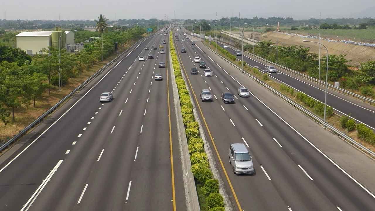
The Eastern Peripheral Expressway (EPE) or Kundli–Ghaziabad–Palwal Expressway (KGP Expressway) in India is six lanes wide and 135 km (84 mi) long. It passes through the states of Haryana and Uttar Pradesh.
The Western Peripheral Expressway starts from Sonipat, passes through Baghpat, Ghaziabad, and Noida districts in Uttar Pradesh and Faridabad district in Haryana, and connects to the Western Peripheral Expressway at Dholagarh in Palwal.
The Eastern Peripheral Expressway and the Western Peripheral Expressway together form the largest ring road around Delhi. In March 2006, the Eastern Peripheral Expressway was named National Expressway 2 (NE-2).
The Eastern Peripheral Expressway connects Palwal, Gautam Buddha Nagar, Faridabad, and Ghaziabad signal-free. This will also divert around 2 lakh vehicles passing through the national capital to this bypass. According to government estimates, the traffic entering Delhi will reduce by 30 percent, which will ultimately help reduce the city’s pollution. The distance of the Eastern Peripheral Expressway is 135 km, and it was divided into six different contractors.
Eastern Peripheral Expressway Route

The Eastern Peripheral Expressway, designated as National Expressway-2 (NE-2), runs from Sonipat to Palwal and passes through Baghpat, Ghaziabad, Greater Noida in Uttar Pradesh, and Faridabad in Haryana. Connects Sonipat and Palwal through the Western Peripheral Expressway (WPE). It will connect NH-1 to the Western Peripheral Expressway at Kundli and NH-2 at Palwal. It will cross the Yamuna River and three more national highways. It will pass through Muradnagar on National Highway-58, Dasna on National Highway-24, and Bilakbarpur on National Highway-91.
Eastern Peripheral Expressway Toll Charges
Toll charges on the Eastern Peripheral Expressway were revised on April 1, 2022. Toll rates on the Eastern Peripheral Expressway have been increased by the National Highways Authority of India (NHAI) from 10 percent to 50 percent. Now the toll from Dasna to Duhai will be Rs 10. Instead of Rs 15, the toll fee from Duhai to Mavi Kalan (Baghpat) has become Rs 50. The price for cars and light vehicles will be Rs 50 to Rs 55. The toll will be Rs 180 from Duhai to Chhajju and Rs 165 from Dasna.
Eastern Peripheral Expressway Speed Limit
The speed limit on the Eastern Peripheral Expressway is 100 km/h for commercial vehicles and 120 km/h for cars/jeeps. The Intelligent Transport System (ITS) was inaugurated by Union Minister Nitin Gadkari on December 22, 2022. ITS will help in traffic efficiency, managing infrastructure, giving passengers early warning of traffic problems, and reducing travel time. Gadkari said a proposal to change the speed limit on the expressway is also under consideration.
Eastern Peripheral Expressway Specifications
- Patrolling vans are deployed every 25 km to prevent crime.
- There will also be ambulance vans every 25 km.
- Tolls on the 135-kilometre-long expressway are collected based on distance traveled rather than the entire length.
- The construction of the Peripheral expressway was completed in 500 days, which is a record in the region.
- To avoid disruption of traffic flow, the option of electronic toll collection (FASTag) has been created.
- 2.5 lakh trees have been planted along the expressway, which are watered through a drip irrigation system.
- Solar panels have been installed at different places on the expressway, which generate solar energy. Eight solar power plants with a combined capacity of 4,000 kilowatts (4 MW) have been built along the expressway.
- A two-meter-long cycling path has been built on both sides of the road.
- 33% of the expressway was built from ash from coal power stations, further reducing pollution.
- Provision to park overloaded vehicles, where they can dump parts of their cargo to meet the weight norms before plying on the expressway
- Cameras have been installed every two kilometers to monitor the speed. A challan will be issued for vehicles exceeding the speed limit at the toll plaza. The challan amount will be added to the total toll payment.
- It also includes an expressway Traffic Management System (HTMS) and an Intelligent Video Incident Detection System (VIDS).
- Replicas of many famous Indian monuments have also been installed along the expressway, such as India Gate, Hawa Mahal, Qutub Minar, Gujarat Carvings, Char Minar, and others.
Conclusion
The Eastern Peripheral Expressway will greatly help farmers, traders, residents of the NCR region, and the neighboring states of Uttar Pradesh and Uttarakhand by improving regional road connections. These initiatives will significantly improve local transport infrastructure, making it faster, more efficient, and less polluting, which will benefit the economy.