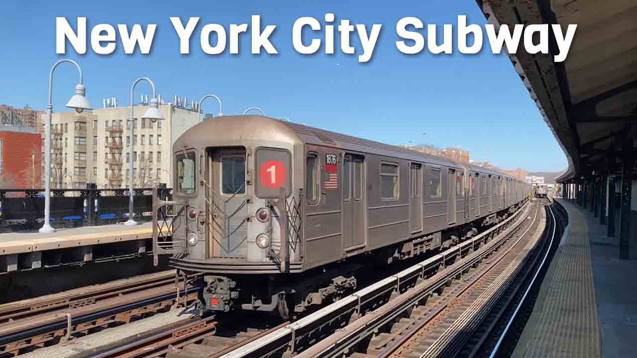
The New York City Subway stands as a testament to urban engineering and public transportation efficiency. As one of the world’s oldest and most extensive rapid transit systems, it serves as the lifeblood of the city, facilitating the movement of millions daily. Its intricate web of tunnels, tracks, and stations weaves through the dense fabric of New York, offering an indispensable service to both residents and visitors. The subway is not just a means of transportation; it is a symbol of the city’s resilience and its perpetual motion.
Table of Contents
NYC Subway History
The inception of the New York City Subway dates back to October 27, 1904, marking the beginning of a transformative era in urban commuting. The original line, operated by the Interborough Rapid Transit Company (IRT), stretched from City Hall to Harlem and revolutionized the way people navigated the city. Initially comprising a single line, the system expanded rapidly, integrating various independent lines and evolving into the complex network we navigate today. The unification of the IRT, Brooklyn-Manhattan Transit Corporation (BMT), and Independent Subway System (IND) in 1940 was a pivotal moment, streamlining operations under the oversight of the city. This growth mirrors the city’s own development, adapting to the changing needs of its populace and the challenges of urbanization. The subway’s history is a reflection of New York’s broader story—a tale of expansion, innovation, and adaptation.
New York City Subway System Overview
- Length: 399 km
- Stations: 472
- Lines: 28
- Track gauge: 1,435 mm (4 ft 8+1⁄2 in) standard gauge
- Speed: 55 mph (89 km/h)
- Type: Elevated & Underground
- Opened: October 27, 1904
Infrastructure and Operations
- Stations and Routes: The subway encompasses 472 stations spread across four boroughs: Manhattan, Brooklyn, Queens, and the Bronx. These stations are interconnected by 28 routes, collectively covering approximately 665 miles of track. The system’s extensive reach ensures that nearly every neighborhood has access to rapid transit, making it an indispensable part of daily life for many New Yorkers. Each station has its own unique characteristics, from the bustling hubs like Times Square-42nd Street to the quieter neighborhood stations. The network’s design allows seamless transfers between lines, optimizing travel efficiency.
- Operational Hours: A hallmark of the NYC Subway is its commitment to continuous service. Operating 24 hours a day, seven days a week, and 365 days a year, it offers unparalleled convenience, ensuring that the city truly never sleeps. This round-the-clock operation supports the city’s dynamic lifestyle, accommodating not only the 9-to-5 commuter but also the night-shift worker, the tourist exploring the city after hours, and the countless activities that occur in the city that never rests.
Fare Structure
- Standard Fare: The base fare for a subway ride is $2.90, offering one of the most economical ways to traverse the city. This fare provides access to the entire network, allowing transfers between lines without additional charges. The MetroCard system, and more recently the OMNY contactless payment system, streamline the fare process, enhancing the overall user experience. With unlimited ride options, frequent travelers can further reduce their costs, promoting the subway as a viable option for daily commuting.
- Reduced Fare Programs: To promote inclusivity, the Metropolitan Transportation Authority (MTA) offers reduced fares for specific groups, including seniors aged 65 and older, individuals with disabilities, and low-income residents. These programs aim to make transportation affordable and accessible to all segments of the population. The Fair Fares NYC program, for example, provides a 50% discount to eligible low-income New Yorkers, underscoring the city’s commitment to equity in public services.
Schematic New York City Subway map by INAT
byu/MrAronymous innycrail
Maps and Resources
- Digital Tools: The MTA provides a live, interactive subway map accessible online. This tool offers real-time updates on train locations, service changes, and station accessibility, enabling riders to plan their journeys with precision. The integration of features such as step-free access information, elevator statuses, and service advisories makes the digital map a powerful resource for both daily commuters and occasional travelers. Additionally, the MYmta app enhances user experience by providing tailored travel information and alerts directly to a rider’s smartphone.
- Physical Maps: Traditional printed maps are available at all subway stations and within train cars. These maps detail all lines and stations, serving as a reliable reference for both seasoned commuters and newcomers. Many stations also feature large wall maps, offering an easy way to check routes without needing a mobile device. The consistency of map design and the clear representation of lines and connections make navigating the system more intuitive, even for first-time users.
List of New York City Subway lines
The New York City Subway system is one of the most extensive and complex public transportation networks in the world, featuring 28 distinct lettered or numbered route designations. These routes are categorized based on their service patterns, which include local, express, skip-stop, and shuttle services, catering to the diverse needs of millions of daily commuters.
The 1, C, G, L, M, R, and W trains operate as fully local services, meaning they make stops at every station along their respective routes. These routes are particularly useful for passengers traveling shorter distances or those needing access to specific neighborhoods. On the other hand, the 2, 3, 4, 5, A, B, D, E, N, and Q trains offer a mix of express and local services. Express trains skip certain stations to provide faster travel for longer distances, while local trains stop at every station, ensuring accessibility for all passengers. This dual-service model helps balance efficiency and convenience across the system.
The J train typically operates as a local service, but during rush hours, it is joined by the Z train, which runs in the peak direction. Both the J and Z trains alternate between local, express, and skip-stop services depending on the segment of their route. Skip-stop service allows trains to bypass certain stations during peak times, reducing travel time for commuters heading to major hubs. Similarly, the 6 and 7 trains are primarily local services, but during rush hours, express variants—marked by diamond-shaped route indicators—are introduced to complement the local trains in the peak direction. This express service is especially beneficial for passengers traveling to and from high-traffic areas like Midtown Manhattan.
The F train also offers a combination of express and local services. During rush hours, an express variant of the F train, identified by a diamond-shaped route marker, operates alongside the local service in Brooklyn. This express service helps alleviate congestion and provides a faster alternative for commuters traveling during peak times.
Additionally, the letter S is reserved for three shuttle services: the Rockaway Park Shuttle, the Franklin Avenue Shuttle, and the 42nd Street Shuttle. These shuttle routes are shorter in length and serve specific purposes, such as connecting distant neighborhoods, bridging gaps between major lines, or providing quick transfers within high-traffic areas like Times Square. The Rockaway Park Shuttle, for instance, connects the Rockaway Peninsula to the rest of the subway system, while the 42nd Street Shuttle offers a convenient link between Grand Central Terminal and Times Square, two of the city’s busiest transit hubs.
Overall, the New York City Subway’s intricate network of local, express, and shuttle services is designed to accommodate the city’s vast population and its dynamic commuting patterns. Whether you’re a daily commuter or a visitor exploring the city, the subway system provides a reliable and efficient way to navigate New York’s bustling streets and vibrant neighborhoods.
Service Updates
- Real-Time Alerts: The MTA’s official website and mobile applications provide up-to-the-minute information on service statuses, planned maintenance, and unexpected disruptions. Riders are encouraged to consult these resources before and during their trips to stay informed. The MTA also utilizes social media platforms and push notifications to ensure critical updates reach as many users as possible, enhancing the reliability of subway travel.
- Station Announcements: Audible announcements within stations and trains keep passengers informed about any immediate changes, delays, or safety information, ensuring a smooth and safe travel experience. These announcements are complemented by visual displays in newer train models and at many stations, improving accessibility for all passengers, including those with hearing impairments.
In conclusion, the New York City Subway remains an integral component of urban life, continually adapting to serve the needs of its diverse ridership. Through ongoing improvements and a steadfast commitment to service, it stands ready to navigate the challenges of the future. It is not merely a transportation system but a symbol of the city’s identity, embodying the spirit of New York with every ride.