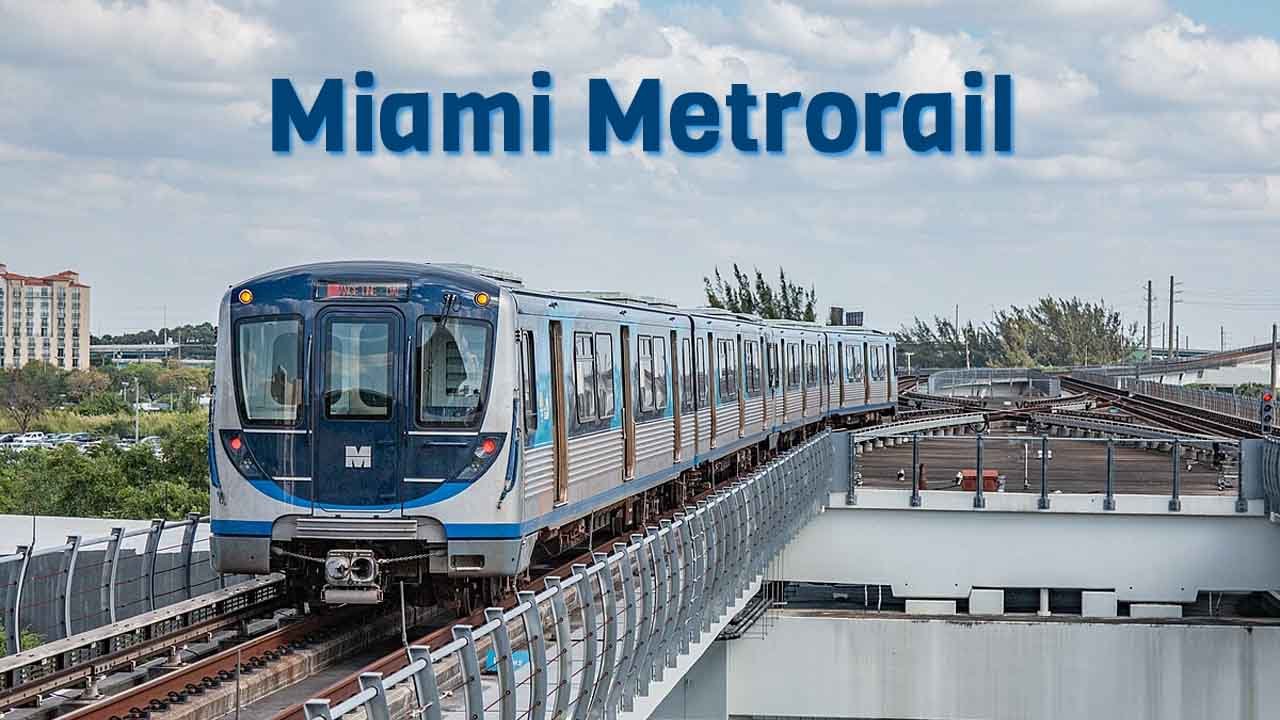
Miami Metro, also known as the Metrorail (Miami-Dade County), is the heart of Miami’s public transportation system. Connecting various parts of Miami-Dade County, the Miami Metro provides a fast, efficient, and environmentally friendly way to travel around the city. With its extensive network, modern amenities, and continuous expansion efforts, Miami Metro is essential to the daily lives of thousands of residents and tourists.
Table of Contents
Miami Metrorail Overview
- Length: 24.4 mi (39.3 km)
- Stations: 23
- Lines: 2
- Track gauge: 4 ft 8+1⁄2 in (1,435 mm) standard gauge
- Speed: 60 mph (95 km/h)
- Owner: Miami-Dade Transit
- Operator: Miami-Dade Transit
- Started Date: May 20, 1984
Miami Metro Route
The Miami Metro system has two lines: the Green Line and the Orange Line. The combined length of both lines is 24.4 mi (39.3 km), with 23 stations serving key areas such as Downtown Miami, Miami International Airport, and various suburban communities.
- Green Line: The Green Line starts from the northern terminus at Palmetto Station to the southern end at Dadeland South Station. This line is popular among travelers who travel between the suburbs and the downtown area, offering convenient access to major business districts, shopping centers, and educational institutions.
- Orange Line: The Orange Line extends from the Miami International Airport (MIA) to Dadeland South Station. This line primarily serves tourists and airport employees, providing a direct and hassle-free connection between the airport and various parts of Miami. The Orange Line shares many stations with the Green Line, offering seamless transfers and broad coverage across the city.
Miami Metro Station List: A Stop-by-Stop Guide
The Miami Metro system boasts a total of 23 stations, each strategically located to maximize accessibility and convenience for passengers. Here’s a complete list of the stations:
- Palmetto Station: Northern terminus of the Green Line, serving the Palmetto Expressway area.
- Okeechobee Station: Located near the Hialeah area, a key residential and commercial hub.
- Hialeah Station: Serves the densely populated Hialeah community.
- Tri-Rail/Metrorail Transfer Station: A major transfer point between the Metro and Tri-Rail commuter trains.
- Northside Station: Located near the Northside Shopping Center, serving local businesses and residents.
- Dr. Martin Luther King Jr. Plaza Station: Named after the civil rights leader, serving the Brownsville area.
- Brownsville: It is located at the intersection of Northwest 27th Avenue (SR 9) and 52nd Street
- Miami International Airport (MIA) Station: The starting point for the Orange Line, connecting travelers to and from the airport.
- Earlington Heights Station: A key transfer station with Metrobus connections.
- Allapattah: This station is located near the intersection of Northwest 12th Avenue (State Road 933) and 36 Street/US 27 (SR 25).
- Santa Clara Station: A smaller station serving the Allapattah area.
- Civic Center Station: Serving the Miami Health District, including the University of Miami medical campus.
- Culmer Station: Located near the historic Overtown neighborhood.
- Historic Overtown/Lyric Theatre Station: Serving the cultural and historic Overtown area.
- Government Center Station: The central hub of the Miami Metro system, offering connections to the Metromover and Metrobus networks.
- Brickell Station: Serving the bustling Brickell financial district.
- Vizcaya Station: Located near the historic Vizcaya Museum and Gardens.
- Coconut Grove Station: Serving the popular Coconut Grove neighborhood.
- Douglas Road Station: Near the Douglas Road corridor, providing access to Coral Gables.
- University Station: Serving the University of Miami.
- South Miami Station: Serving the South Miami community and nearby shopping centers.
- Dadeland North Station: Located near the Dadeland Mall, a major shopping destination.
- Dadeland South Station: Southern terminus of both the Green and Orange Lines, providing access to various suburban areas.
Each station is equipped with modern facilities, including elevators, escalators, bicycle racks, and parking spaces. The stations are also ADA-compliant, ensuring accessibility for all passengers.

Miami Metro: Past, Present, and Future
Since its inception in 1984, the Miami Metro system has undergone significant growth and expansion. Originally launched with a single 20-mile line, the system has expanded to include the current 25-mile network, with continuous improvements and extensions in the pipeline.
Past Achievements
- Initial Launch: The Miami Metro began operations in May 1984, with a 20-mile stretch from Dadeland South to Okeechobee.
- Station Expansions: Over the years, additional stations were added, including the Palmetto Station in 2003 and the Miami International Airport Station in 2012.
Present Developments
- Service Enhancements: The Miami Metro has introduced new technologies to improve the rider experience, including real-time tracking apps, contactless payment systems, and enhanced security measures.
- Green Initiatives: The Metro system has made significant strides in reducing its carbon footprint, incorporating energy-efficient trains and solar-powered facilities.
- Public-Private Partnerships: Collaborations with private developers have led to the construction of transit-oriented developments (TODs) near several stations, promoting urban growth and reducing traffic congestion.
Future Plans
- North Corridor Extension: Plans are underway to extend the Green Line further north, potentially reaching the Broward County line. This extension would significantly increase the Metro’s coverage area and connectivity.
- New Stations: The Miami-Dade County Transit Authority has proposed the addition of new stations along the existing lines, aiming to fill in service gaps and improve accessibility for underserved communities.
- Technology Upgrades: The Metro is set to receive further technological upgrades, including the integration of 5G networks, autonomous train operations, and enhanced passenger information systems.
- Sustainability Goals: Future developments will focus on achieving carbon neutrality, with plans to transition to fully electric trains and incorporate more renewable energy sources.
FAQs
1. What are the operating hours of the Miami Metro?
The Miami Metro operates seven days a week, from 5:00 AM to midnight. Service frequencies vary, with trains arriving every 5-15 minutes during peak hours and every 15-30 minutes during off-peak hours.
2. How can I purchase tickets for the Miami Metro?
Tickets can be purchased at vending machines located at each station, through the EASY Card, or via the Miami-Dade Transit app. Contactless payment options, including credit cards and mobile wallets, are also available.
3. Is the Miami Metro accessible for people with disabilities?
Yes, all Miami Metro stations are fully accessible, with elevators, ramps, and designated seating areas for passengers with disabilities. The Metro also provides audio and visual announcements for the hearing and visually impaired.
4. Can I bring my bicycle on the Miami Metro?
Bicycles are allowed on the Miami Metro during non-peak hours. Each train has designated areas for bicycles, and most stations are equipped with bike racks for added convenience.
5. Are there parking facilities available at Miami Metro stations?
Yes, many Miami Metro stations offer parking facilities, including park-and-ride lots. Parking fees vary by location, and some stations also provide electric vehicle charging stations.