Imagine yourself traveling on a beautiful coastal route that reduces travel time leads to economic growth and connects communities. The Versova-Virar Sea Link, which will give a safe connection to Versova and Virar, is going to be a landmark project in Mumbai. Let’s know about its route, development, advantages, and more.
Table of Contents
Versova-Virar Sea Link Overview
- Length: 42.75 km
- Lanes: 8
- Cost: ₹63,426 crore
- Starting Point: Versova, Mumbai
- Ending Point: Virar, MMR
- Completion time: December, 2028
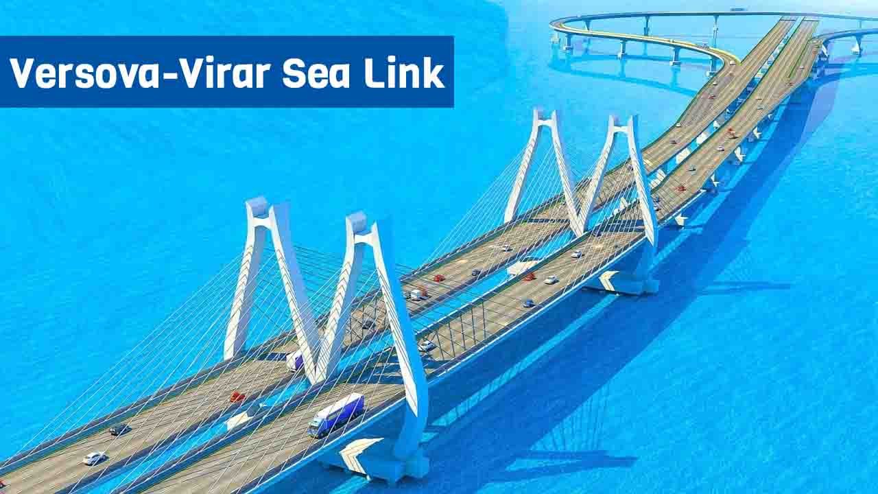
About Versova-Virar Sea Link
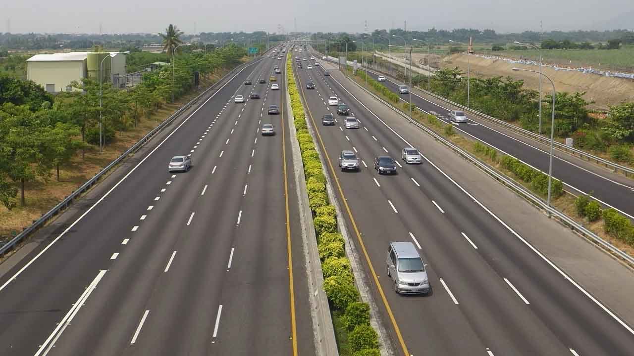
The Versova-Virar Sea Link project, a proposed 42.75 km long elevated road with eight lanes, is a game-changer project for Mumbai’s transportation. The Versova-Virar Sea Link is a vital infrastructure project to improve connectivity along Mumbai’s western coastline. Reducing congestion on current roads, the project is a part of the larger Mumbai Coastal Road Project.
Historical Background
The idea of a coastal road connecting Versova to Virar has been brewing for a long time. Mumbai’s ever-increasing population and traffic problems necessitated a cost-effective coastal route. Several government bodies came together to build the sea link to enhance Mumbai’s infrastructure.
Versova-Virar Sea Link Route Map

Starting Point: Versova
The starting point of this ambitious project is Versova, famous for its vibrant fishing community and beautiful beach. The area is a busy suburb filled with residential and commercial spaces.
Major Stops
The Sea Link will pass through several important areas as it moves north, including:
- Madh Island: A popular weekend spot known for its beauty
- Gorai: Famous for its beaches and Essel World amusement park.
- Uttan: A coastal town, famous for its fishing industry and beautiful scenery
Ending Point: Virar
Virar, a rapidly growing suburb of Mumbai, is the last place with sea connectivity. Virar has recently become a major residential and commercial center.
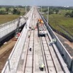
Versova-Virar Sea Link Progress
The project has made significant progress, with preliminary works, such as land acquisition and environmental clearance, almost complete. Construction has already begun in many parts, but progress is in the southern stretches.
There are multiple phases to build the sea link, ensuring efficient execution. The first phase focuses on the Versova to Madh Island area, while the other phases will cover the entire stretch till Virar.
Despite the progress, the project has faced several challenges, such as land acquisition disputes, environmental concerns, and the need to resettle affected communities. But these challenges are being addressed with strong government support.
Versova-Virar Sea Link Project Completion Date
The Versova-Virar Sea Link is expected to be operational by 2028, but some stretches of it may be opened earlier to ease traffic congestion.
Read More: Nariman Point-Cuffe Parade Sea Link
Conclusion
The Versova-Virar Sea Link is not just a road; it is a symbol of unity and development. Connecting Mumbai’s coastline more efficiently will lead to economic growth, improved transport facilities, and socio-cultural interactions. This project will usher in a new era in Mumbai’s infrastructure development, the benefits of which will be felt far and wide.
FAQs
1. What is the total length of the Versova-Virar Sea Link?
The Versova-Virar Sea Link spans approximately 42 kilometers, offering a direct and efficient coastal route.
2. How will the sea link impact local businesses?
Local businesses will benefit from reduced transportation costs, faster delivery times, and increased accessibility to larger markets, fostering economic growth and expansion opportunities.
3. What are the key features of the sea link?
Key features include multiple lanes for high-speed travel, advanced safety measures, scenic viewpoints, and facilities for emergency services, designed to provide a safe and comfortable journey.
4. What measures are being taken to ensure environmental sustainability?
Environmental measures include afforestation programs, marine life protection zones, and advanced drainage systems to prevent waterlogging and soil erosion.
5. How can travelers benefit from the sea link?
Travelers will enjoy significantly reduced travel times, improved road safety, and enhanced convenience with well-planned rest areas and amenities along the route.