CategoriesRoads
Major Expressways Coming Soon in Madhya Pradesh – A Game Changer for Connectivity
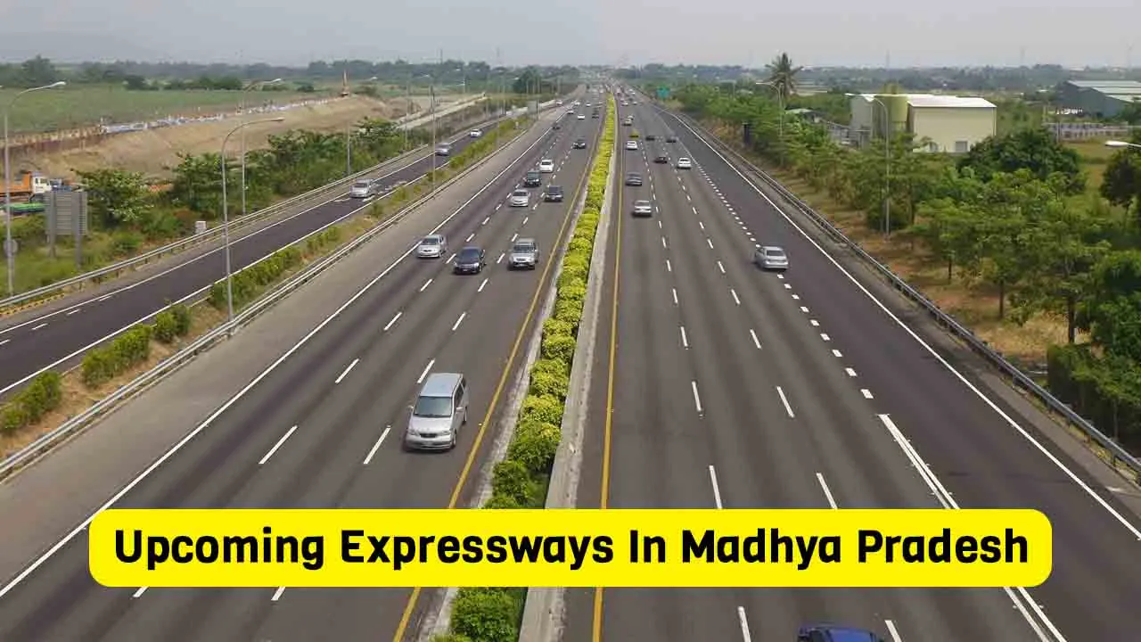
In the next five years, the Madhya Pradesh government will build a network of highways that will accelerate the state’s ... Read more
Read More
In the next five years, the Madhya Pradesh government will build a network of highways that will accelerate the state’s ... Read more
Read More
Chief Minister Yogi Adityanath has ordered the Uttar Pradesh Expressway Industrial Development Authority (UPEIDA) to expeditiously complete the construction of ... Read more
Read More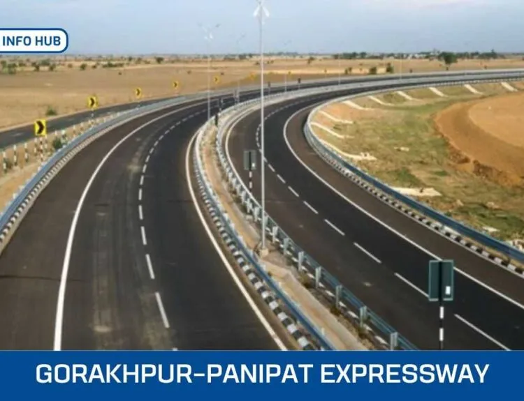
Uttar Pradesh, often known as the “state of expressways,” is preparing to launch another major infrastructure project — a 700-kilometre ... Read more
Read More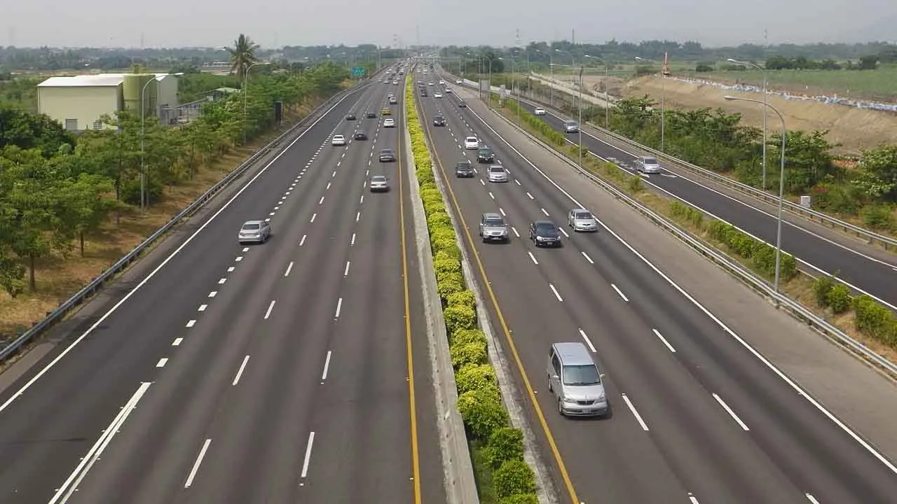
The government approved eight national high-speed road corridor projects spanning 936 km with an investment of Rs 50,655 crore to ... Read more
Read More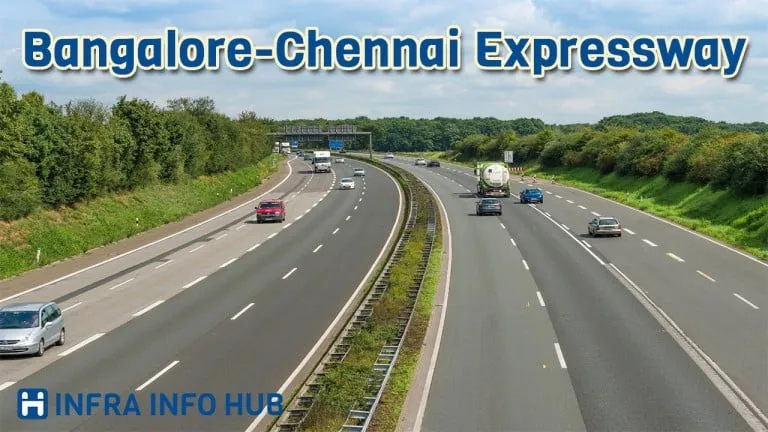
The country’s first unique expressway will be built in South India. After constructing this Bengaluru Chennai Expressway, it will seem ... Read more
Read More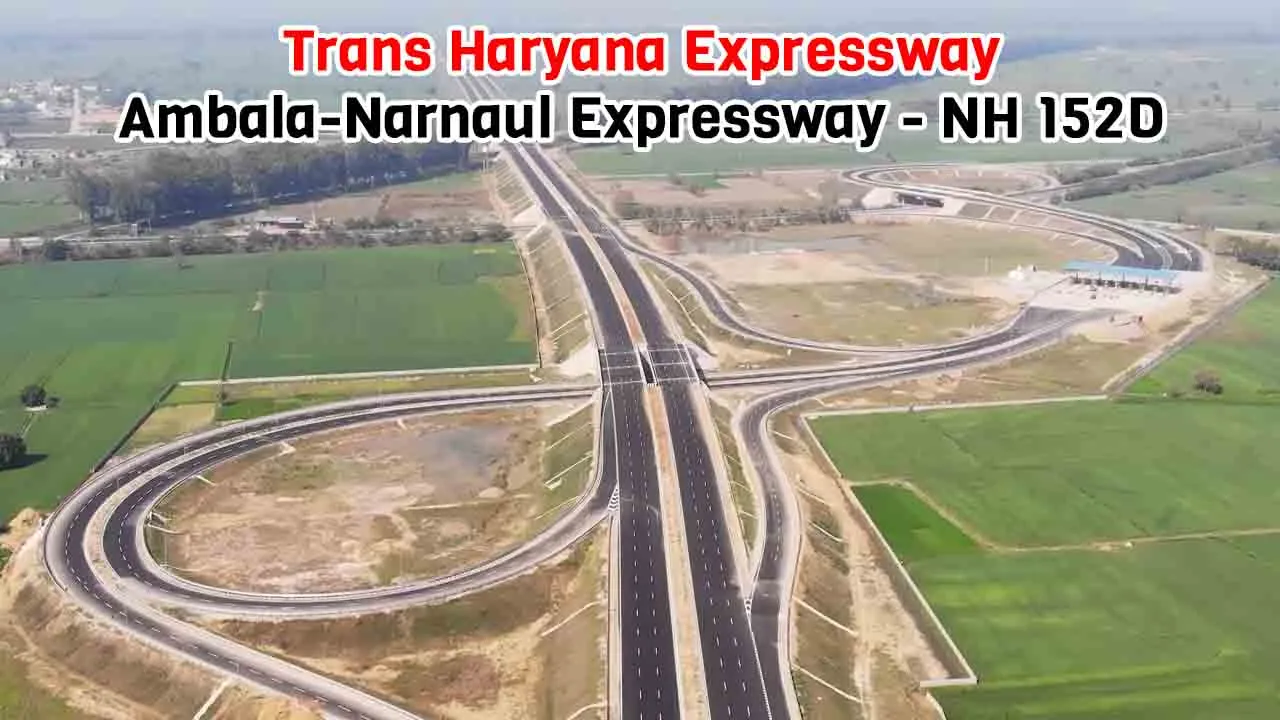
Trans-Haryana Expressway or Ambala-Narnaul Expressway or National Highway 152D (NH 152D) is a major arterial road connecting eight districts of ... Read more
Read More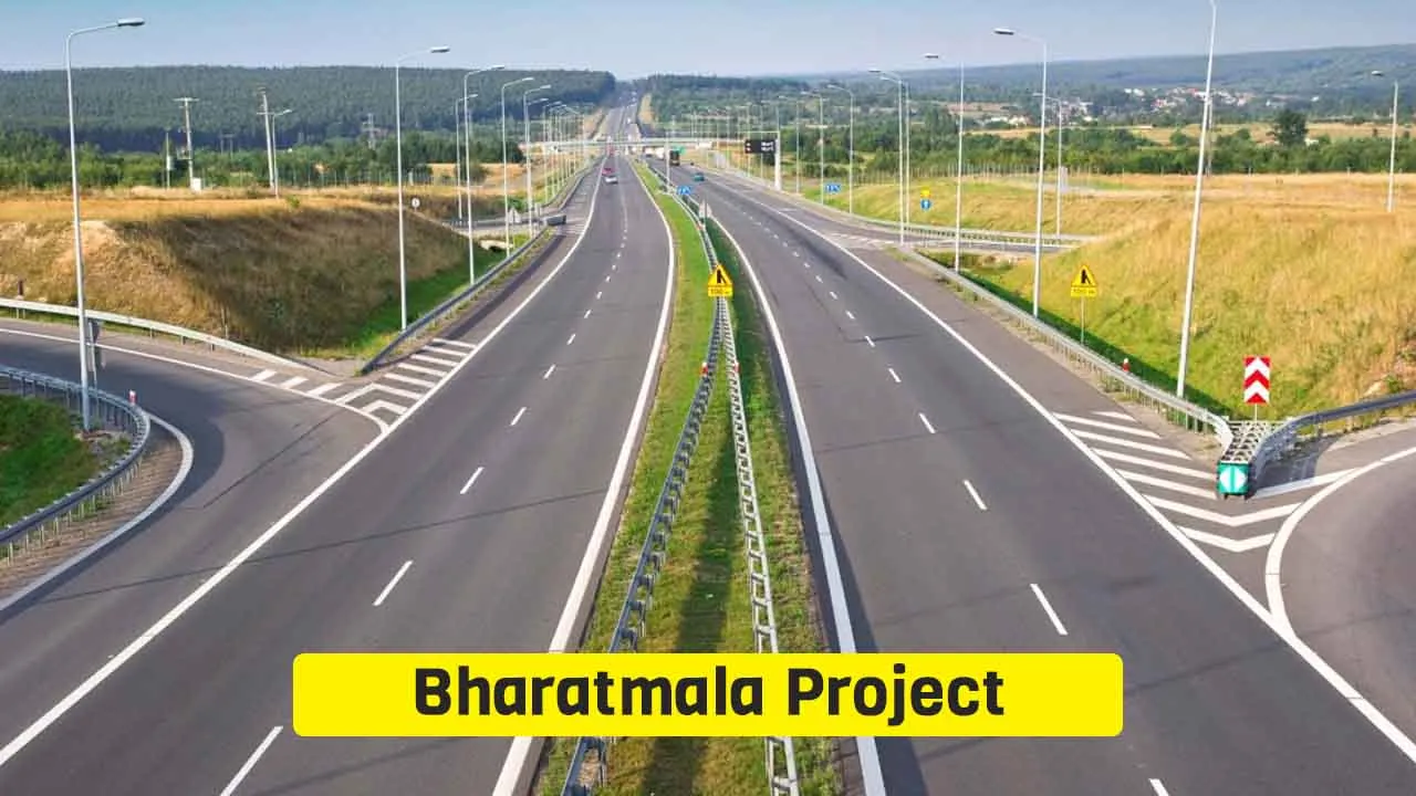
India’s most ambitious highway development initiative, the Bharatmala Project, is reshaping the nation’s road network at an unprecedented scale. Launched ... Read more
Read More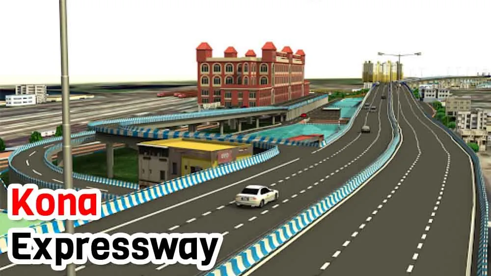
Travelers now can have a smooth and quick way to move between Kolkata and Howrah through the Kona Expressway in ... Read more
Read More
The official name of the Expressway is Yashwantrao Chavan Mumbai Pune Expressway. This six-lane expressway replaced National Highway 4 (NH-4), ... Read more
Read More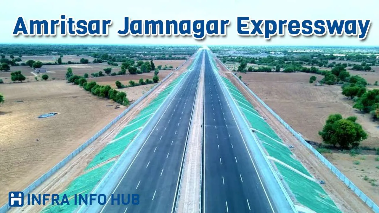
One of India’s most ambitious infrastructure projects is the Amritsar-Jamnagar Expressway, which aims to transform connectivity between the northern and ... Read more
Read More