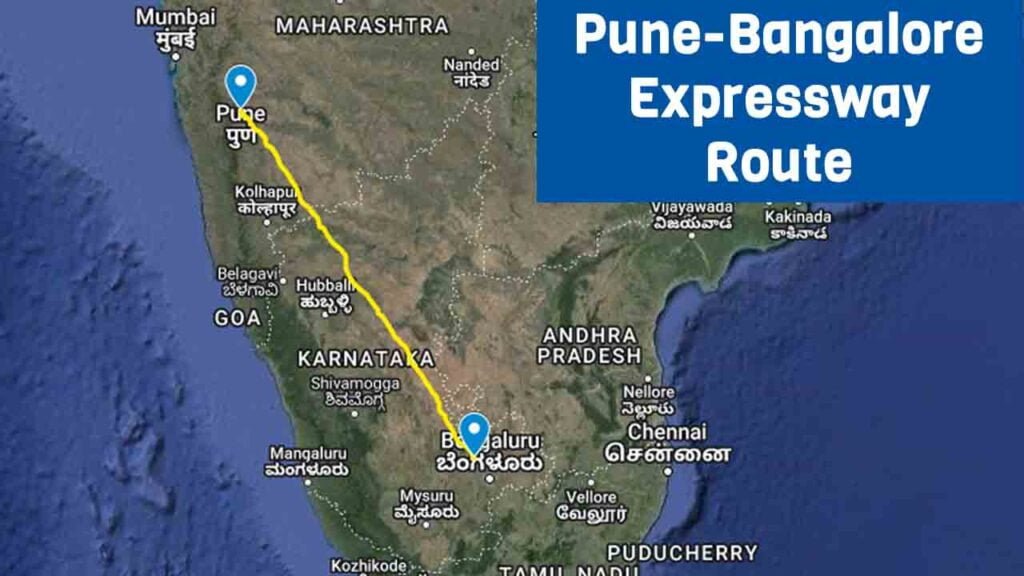
The Pune Bengaluru Expressway stretches over 700 kilometers, linking the busy city of Pune with the tech hub of Bengaluru. This major road cuts across Satara and Sangli’s dry and drought-affected regions, offering a much-needed connection through these struggling areas.
Planned as part of the Bharatmala project, this expressway is more than just a road. It stands as a symbol of growth and progress, designed to improve travel and trade while opening up new opportunities for the towns and communities along its path
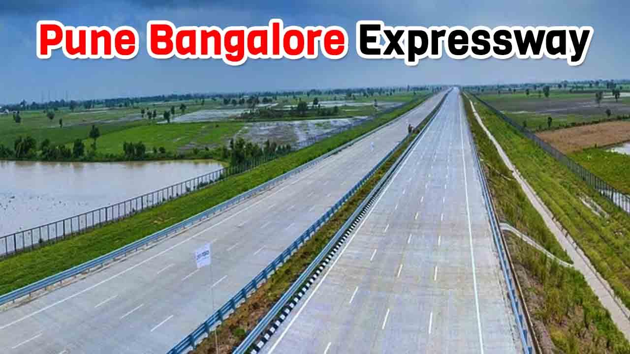
The Greenfield Expressway, which will be faster and less congested than the current highway, will replace National Highway 48 (formerly NH 4). The Pune Bengaluru Expressway will be an 8-lane, access-controlled expressway capable of 120 km/h speed.
Table of Contents
Pune Bengaluru Expressway Overview
- Length: 700 km
- Estimated Cost: ₹50,000 crore
- Lanes: 8 (Access-Controlled)
- Maximum Speed: 120 km/h
- Starting Point: Kanjale, Pune Ring Road
- Ending Point: Muthagadahalli, Bangalore Satellite Ring Road
- Expected Completion: 2028
About Pune Bengaluru Expressway
The Pune Bengaluru Expressway is a planned 700-kilometer-long eight lane Expressway. It will be a Greenfield, access-controlled road built from scratch, running through the states of Maharashtra and Karnataka.
This expressway is part of the Bharatmala project, which aims to improve road connections across India. It will pass through 12 districts in total—three in Maharashtra and nine in Karnataka—making travel faster and helping boost development in these areas.
The distance between the two cities will be reduced by about 95 km via the Pune Bengaluru Expressway. After the completion of this expressway, the distance from Bengaluru to Pune will be less than 7 hours from the present 15 hours. This expressway in Pune will also connect to the Mumbai-Pune Expressway. It is reported that the expressway is targeted to be completed by 2028.
This greenfield expressway will be built parallel to National Highway 48 under Bharatmala Project Phase 2. Also, the Greenfield Expressway will be an easy alternative to NH-48.
The proposed expressway will be built at a cost of Rs 50,000 crore under Phase II of the Prime Minister’s flagship Bharatmala project.
Pune Bengaluru Expressway Route Map
The proposed expressway will start from Kanjale on the Pune Ring Road, traverse through the drought-prone Satara and Sangli districts, and enter Karnataka, passing through several major districts before ending at Muthagadahalli on the Bangalore Satellite Ring Road. This route will effectively reduce the distance between Pune and Bengaluru by approximately 95 km, bringing the travel time down to under 7 hours from the current 15 hours.
Pune Bengaluru Expressway Districts
Maharashtra:
- Pune
- Satara
- Sangli
Karnataka:
- Belagavi
- Bagalkot
- Gadag
- Koppal
- Vijayanagara
- Davanagere
- Chitradurga
- Tumakuru
- Bengaluru Rural
Pune Bengaluru Expressway Progress
Currently, the Pune Bengaluru Expressway project is in the proposal stage and the Detailed Project Report (DPR) is being prepared. The land acquisition work has not started yet. Further information regarding timelines and construction milestones will be provided as the project progresses.
Project Specifications:
The expressway’s design includes:
- 22 Interchanges
- 55 Flyovers
- 14 National and State Highway Crossings
- Two Emergency Airstrips (around 5 km each in Pune and Bengaluru)
- 15-metre Median for future expansion
- 100-metre Right of Way (ROW)
- Plantation on both sides for environmental balance
- Crossing 10 major rivers, including Neera, Yerala, Chand, Agrani, Krishna, Ghataprabha, Malaprabha, Tungabhadra, Chikka Hagar, and Vedavati
Pune Bengaluru Expressway Benefits
- Reduced Travel Time: The expressway will cut travel time between Pune and Bengaluru to 7-8 hours from the current 11-12 hours.
- Economic Growth: Improved connectivity will boost trade, real estate, and tourism, benefiting the regional economy.
- Enhanced Infrastructure: The expressway will provide better access to pilgrimage sites like Shirdi and other central cities in Maharashtra.
Conclusion
The Pune Bengaluru Expressway is set to become one of India’s most significant infrastructural projects, providing faster travel, reduced congestion, and enhanced connectivity between two major economic hubs. This transformative project will play a crucial role in supporting the broader regional development of Maharashtra and Karnataka.