Table of Contents
Tharad Ahmedabad Expressway Overview
- Length: 213 km
- Lanes: 6/8
- Cost: ₹6000 crore
- Starting Point: Tharad
- Ending Point: Ahmedabad
- Completion Time: Not Decided
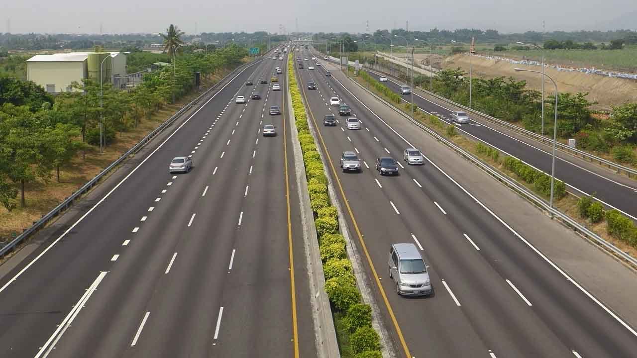
The Tharad Ahmedabad Expressway is a 213-kilometer, six-lane, access-controlled greenfield highway to be developed by the Government of India under the Bharatmala Project. According to NHAI officials, this corridor is designed to link northern India with key ports such as Jamnagar, Kandla, and Mundra, facilitating smoother import and export activities.
Tharad Ahmedabad Expressway Route
The Tharad Ahmedabad Expressway will pass through 22 villages in Mehsana, Unjha, and Visnagar talukas. The National Highways Authority and the District Land Office Inspector have started a joint land survey for the project. This survey will include both government and private land along the expressway route.
At the north end, the expressway will connect to the Amritsar-Jamnagar Economic Corridor near Tharad, close to the Gujarat-Rajasthan border. On the southern side, it will join the Ahmedabad-Vadodara Expressway, which will run south of Ahmedabad city.
Tharad Ahmedabad Expressway Progress
The process of land acquisition is going on. Tenders were invited in October 2022 for the construction of 3 packages, but the tenders were canceled in November 2023.
Tharad Ahmedabad Expressway Latest Updates
Farmers in Banaskantha have protested, asking the government to stop the survey work for the Tharad-Ahmedabad Expressway. People from villages in Jasali, Sardarpura, and Deodar taluka are opposing the survey. They have given a petition to the state government, asking to remove the internal land survey from the Bharatmala project.
Farmers say the government started checking crops in their fields without informing them. This has damaged many crops and caused major losses. Even though they have asked several times to stop the survey in growing fields, no one is paying attention.
Meanwhile, there are also problems with the canal system in the Banaskantha border area. Today, water overflowed near Bhorol village from the Medhala Minor Canal and entered nearby fields. Instead of helping, the canal water damaged ready-to-harvest crops like cumin, raida, and castor.
Farmers said much more water was released from the canal than usual. After the canal broke, water stayed in their fields for over three hours, further damaging their crops.
Recommended:
- Ahmedabad Dholera Expressway
- Delhi Mumbai Expressway
- Amritsar Jamnagar Expressway
- Ahmedabad Vadodara Expressway
- Surat Chennai Expressway